

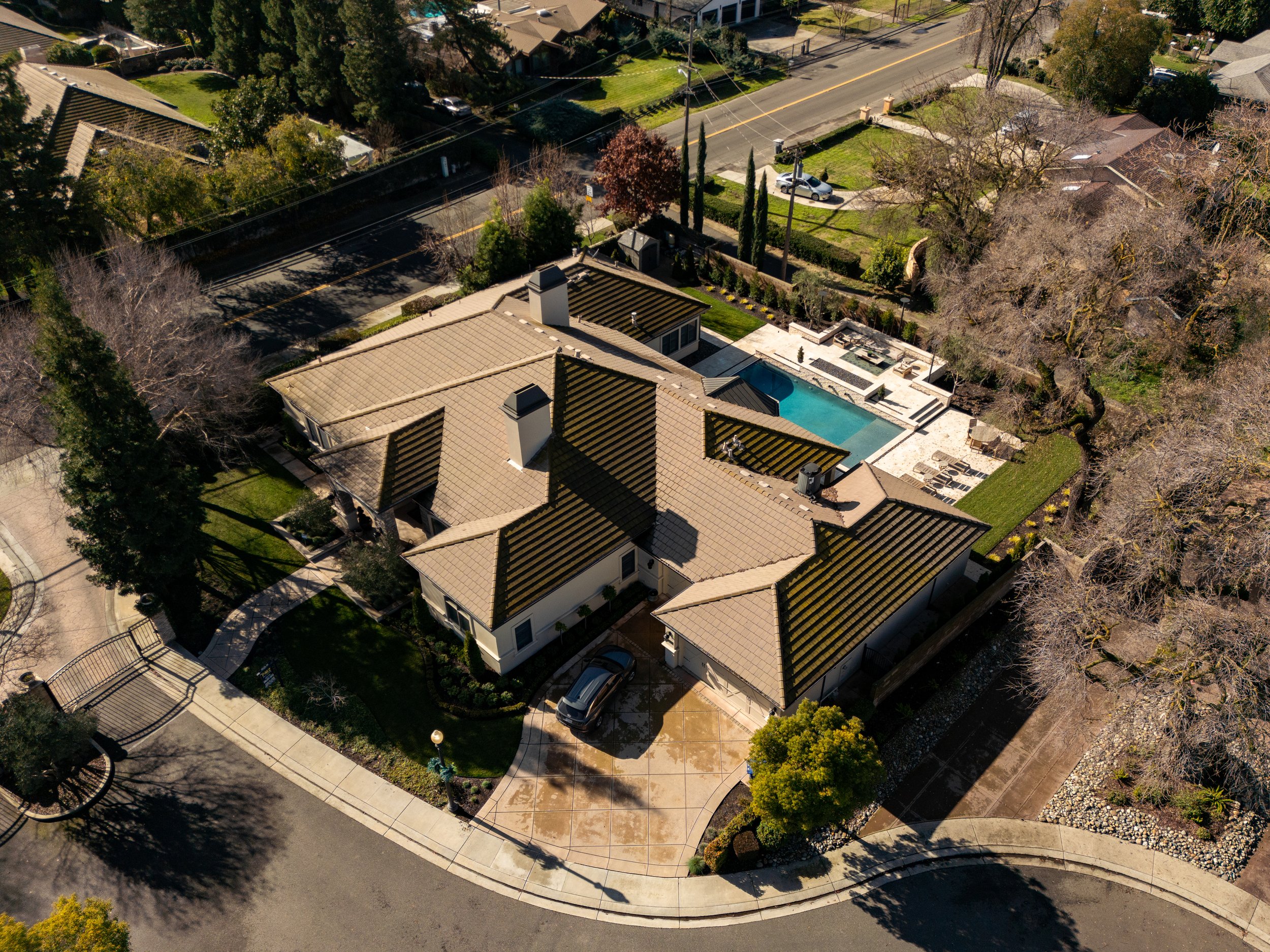


Transform Listings with Captivating Aerial Perspectives
Elevate your listings to new heights with stunning drone photography. Our expertise showcases properties from unique angles, highlighting amenities, size, and surroundings to attract the perfect buyer.
Reveal properties like never before - showcasing their scale, architecture, and unique features


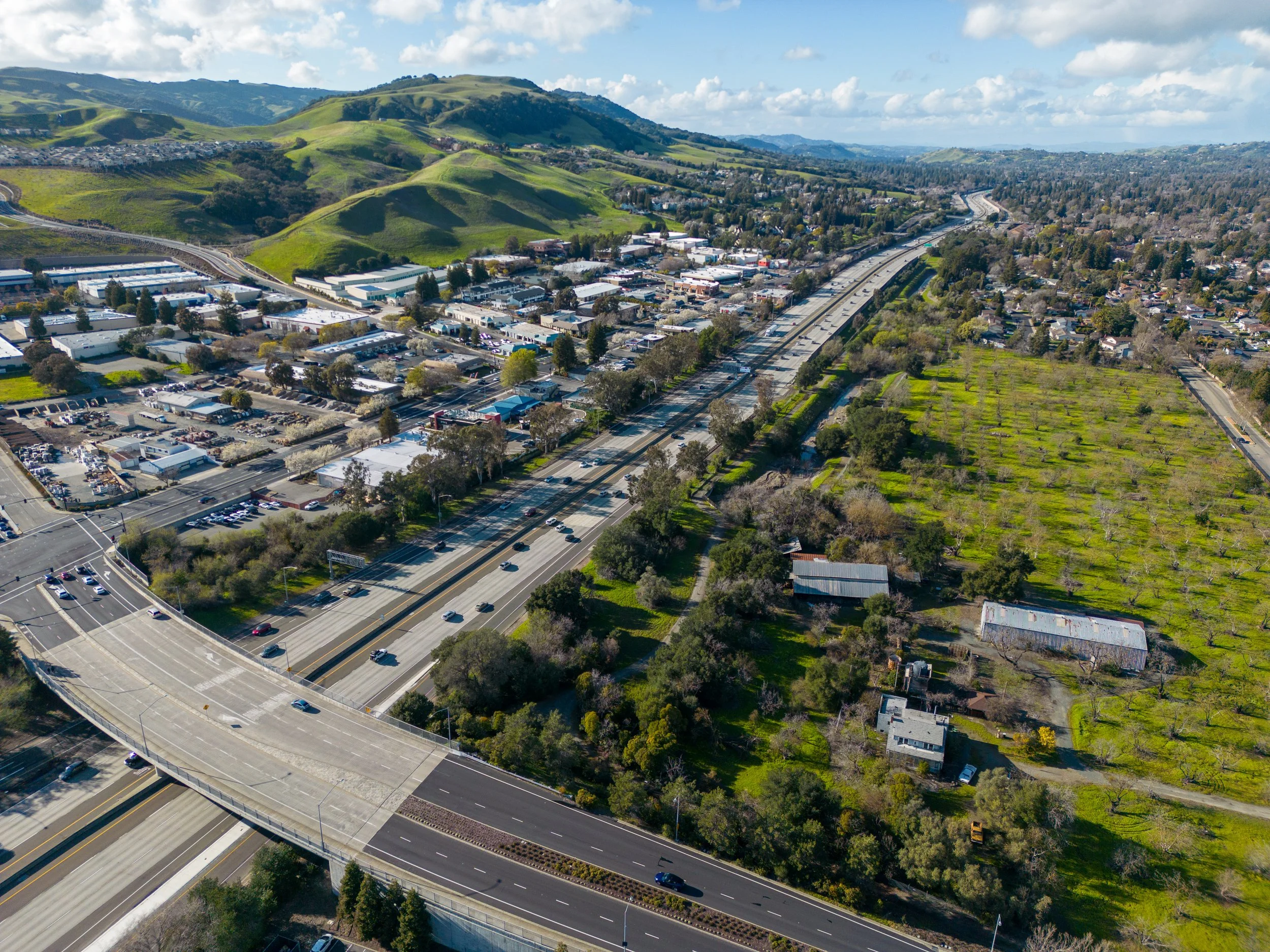
Accelerate Your Project with High-Precision Aerial Surveying
Capture high-accuracy site data faster and safer than traditional methods.
Generate detailed topographic maps, volumetric calculations, and thermal surveys.
Identify potential issues early, track progress, and optimize timelines.
Sticks ‘n Lenses
An FPV Pilot’s Perspective
Join the flight! Get behind-the-scenes peeks at building an FPV drone business, thrilling flight footage, and actionable tips for pilots or anyone looking to harness the power of FPV.